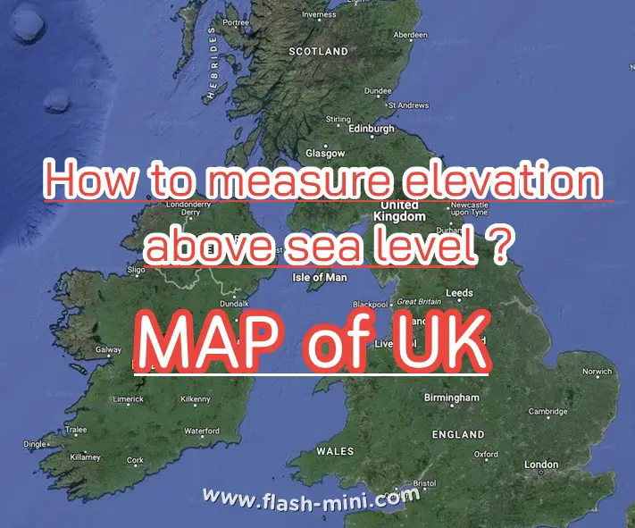


Knowledge information about #Height above sea level is the level used as the basis for measuring the height of the earth's surface. It is considered the zero level with a height of 0 meters. It is the criterion used to measure the height of objects on the surface of the earth such as mountains, plains, skyscrapers, etc.
Sea level is widely used to indicate the height of things and places in contact with the sea. or where groundwater collides with seawater This affects the water level in artesian wells or water sources that are lower than sea level. It is also the main criterion for determining the country's elevation line.